US Navy deploys drones under Arctic ice
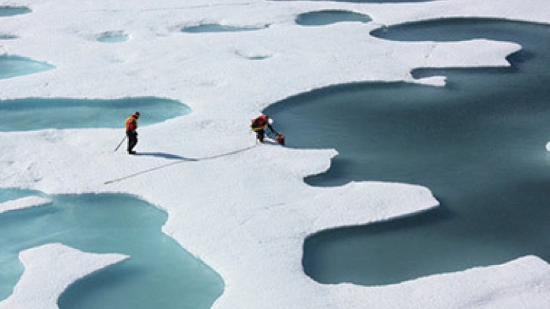
The US Navy has started to deploy underwater drones beneath the arctic ice both to study the deterioration of the ice sheet due to climate change and to help plan for anticipated increases in traffic as previously frozen waterways open up, Sputnik reported.
In terms of environmental monitoring, the drones will measure salinity and temperature, for instance, which will help scientists create more accurate models to predict future rates of melting.
But the plans are also meant to address the "security implications" of the opening up of the Arctic waters, according to the Navy's Arctic Roadmap, updated in 2014 to adapt to changing Arctic conditions. Part of that plan, which spans 2014-2030, is to increase the number of ships in the region, Martin Jeffries, science advisor to the Office of Naval Research, or ONR, told Military.com.
"Due to the significant retreat of sea ice, previously unreachable areas have started to open for maritime use several weeks each year. The predicted rise in oil and gas development, fishing, tourism, and mineral mining could alter the Region’s strategic importance as Arctic and non-Arctic nations make investments," the Roadmap says.
The two aspects of the are connected, as the rate of melting will determine how many more ships are deployed in the region and how quickly. The drones will focus specifically on what is known as the marginalized zone — where the solid ice shelf meets the ocean — the frontier of the Arctic ice.
Newsfeed
Videos


