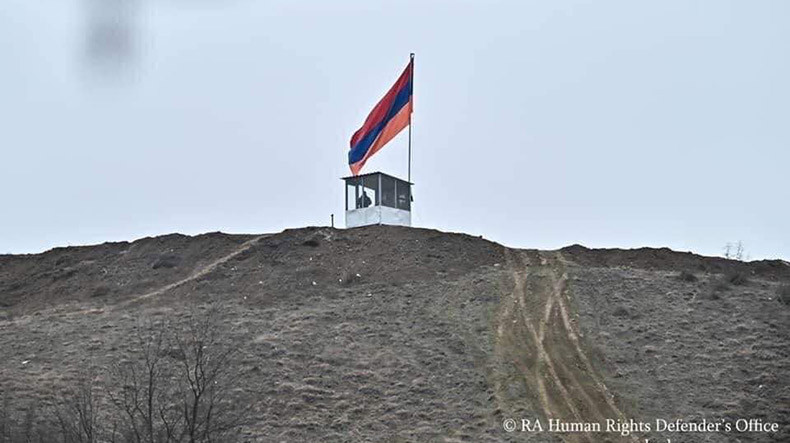
Armenian Ombudsman: The border demarcation process can not disrupt the normal life of the border residents
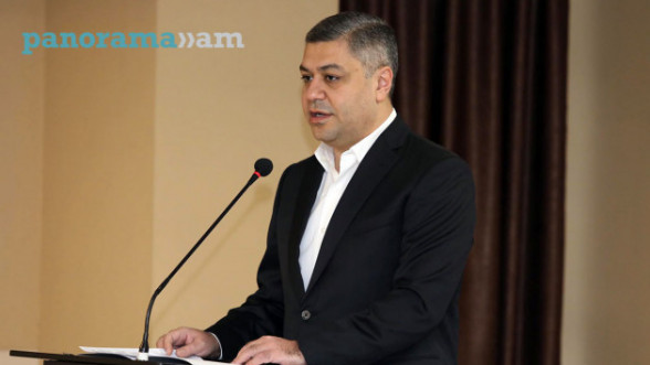
Armenian Human Rights Defender Arman Tatoyan believes the process of "determination" of the borders with Azerbaijan in the Syunik and Gegharkunik regions of Armenia does not stem from the rule of law and contradicts the principles of international law is proven by the socio-economic violations of the border villages, including property rights.
The Ombudsman has listed some of the problems that have arisen for the villagers in Syunik and Gegharkunik regions of the Republic of Armenia are the following:
1.A person has a legal document confirming the registration of his right to a house or a piece land (for example, a cadastral certificate), but is deprived of that property because it is physically considered an "Azerbaijani" territory (for example, Shurnukh and Vorotan villages of the Syunik region).
2.A person has a document confirming his right to a particular land, but can not, for example, use his land, because it is under direct fire of the Azerbaijani armed forces, who moreover, regularly discharge and shoot their firearms in those places (for example, Srashen, Shikahogh, Nerkin, Syunik region Hand, Aravus, Vorotan, Yeghvard, Agarak villages, Kut, Norabak and, in general, almost all the border villages of Gegharkunik region). The same problem applies to and persists in community-owned lands and the opportunities for the people to use those lands.
3.A business company has been allocated land by a government decree, but the company is unable to use it because a portion of that specific area is occupied by the Azerbaijani Armed Forces (for example, Sotk community of Gegharkunik region).
4.People are deprived of the opportunity to use pastures, grasslands and gardens because they are either under Azerbaijani control or under targeting by their armed forces (all community settlements on the border of Gegharkunik and Syunik).
In response to these problems, some parties point out that since these solutions are based on a topographic map, and in addition, the use of GPS and Google Maps, these are solutions which must be adopted.
In Tatoyan's words, international rules, in fact, establish a completely different approach. Cadastral documents or cadastral maps should be the basis for the preparation of discussions and negotiations. They should be the basis of the initial (starting) positions of the parties
According to international rules, the right of ownership of border residents, their lands and houses (even addresses), as well as cadastral documents, must be studied and registered in advance.
The main logic remains that the border demarcation process can not disrupt the normal life of the border residents, their traditional way of life, and it can not violate their rights.
The issue here is not only human rights to houses and land, but also to water resources, livelihoods.
All possible damages and injuries that a person or someone engaged in business can suffer must also be calculated. All of this should also be the subject of international negotiations and discussions. There cannot be any conditions imposed upon a person which disrupts his normal life in his own permanent residence simply because his property rights have not been taken into account due to some interstate process of delimitation.
These rules are enshrined in OSCE and UN guidelines, case law of the International Court of Justice, and are cemented within documents of other international organizations," the Ombudsman concluded.
Related news
Newsfeed
Videos


