'A hiker's dream': National Geographic reveals Armenia's wonders
A 500-plus mile hiking path reveals the wonders of Armenia, “a country at the crossroads of the world”, American travel writer Mark Johanson says in a story that appeared in National Geographic on Wednesday.
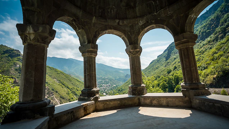
“Despite its small size—just over 11,000 square miles—Armenia packs a wealth of scenery, wildlife, and early Christian history into its craggy terrain. It’s a hiker’s dream, with landscapes winding through the Caucasus Mountains from the arid Aras Valley, at the Iranian border, to lush forests rolling into Georgia,” he writes.
“But until recently, it was impossible to hike across the whole of this nation at the crossroads of Europe and Asia. “I remember looking out at these mountains and thinking, ‘my God, I really want to explore them’,” says Tom Allen, a British adventurer and trail developer who first visited the country in 2008. “But there were no hiking maps of the country, Google Maps was basically blank, and the Soviet military maps were classified.”
“Allen’s experience led him to design a 514-mile route crossing Armenia, which launched in early 2022. Working with NGOs HIKEArmenia and Trails for Change, Allen and teams of volunteers not only built fresh trails but also linked Soviet-era 4x4 tracks, herding routes, and longtime footpaths. It all winds through cloud-hugging pastures past ancient monasteries, stone villages, and crumbling caravanserais from the days when the Silk Road made Armenia rich.
“Visitors can now follow red-and-white TCT trail markers across the nation to witness the volcanic domes of the Gegham Mountains and the emerald depths of Vorotan Canyon. The trail also passes three UNESCO-listed monasteries, which speak to Armenia’s history as the first country to establish Christianity as the state religion,” the report says.
You can read the full story here.
(1).jpg)
.png)
.png)
.png)
Newsfeed
Videos


